
Remote Sensing Solutions
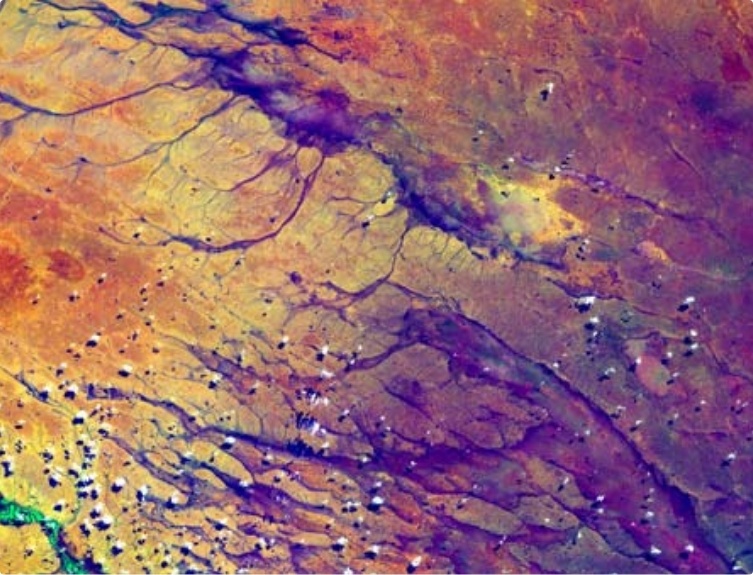
Our team can process, analyse and convert aerial and satellite images to generate thematic maps, Digital Elevation Model, cartographic quality maps, predictions and estimation (of crop production, forest stock and so on) and generate perspectives of systematic change. Data fusion technologies are used to create new perspectives of images and create systematic image sets for applications - agriculture, landcover and landuse mapping, urban landuse, forest mapping, terrain modeling, disaster management support (floods, landslides etc), groundwater targeting, coastal landuse mapping, environmental assessment, cartographic mapping and many other areas. Our experts can “simulate†spatial information perspectives from images of IRS, Landsat, SPOT, Envisat, IKONOS, OrbView, QuickBird, aerial images, aerial survey data and “reduce†these images into meaningful information for users.
GIS Solutions and Services
Our experts have vast experience in developing, launching or implementing a Geographic Information System (GIS) for organizations and solutions that are applications-oriented. Our team can work on any GIS platform and provide final solutions. A strategic approach in meeting user needs can even break-down tasks to just GIS database creation, GIS standards implementation, maintaining and updating GIS archives, implementing total systems design for organizational GIS and even building applications on GIS databases as per user requirements.
Taking a holistic approach of spatial data creation, GIS ingest, GIS database organization and maintenance and GIS applications development can relieve users and organization of the “technology assimilation†curve and enable them to benefit from spatial technology solutions more effectively.
We can establish and maintain GIS portals for organizations with a back-end spatial data repository and middle-layer applications on a front-end web-GIS. We also offers GIS consulting and can even prepare feasibility reports, project assessment reports and conduct market and research surveys in this field.Our expertise can benefit organizations to implement GIS standards that comply with their own needs and integrated into national (NNRMS Standards, NRIS Standards, NSDE Standards etc.) and international standards (ISO, OGC-GML) and others.
Taking a holistic approach of spatial data creation, GIS ingest, GIS database organization and maintenance and GIS applications development can relieve users and organization of the “technology assimilation†curve and enable them to benefit from spatial technology solutions more effectively.
We can establish and maintain GIS portals for organizations with a back-end spatial data repository and middle-layer applications on a front-end web-GIS. We also offers GIS consulting and can even prepare feasibility reports, project assessment reports and conduct market and research surveys in this field.Our expertise can benefit organizations to implement GIS standards that comply with their own needs and integrated into national (NNRMS Standards, NRIS Standards, NSDE Standards etc.) and international standards (ISO, OGC-GML) and others.
Photogrammetry Solutions
We have an experienced Photogrammetry team equipped with the latest in digital soft copy Photogrammetry systems. We offer leading edge, professional mapping services which are time and cost effective with 100% client satisfaction. We offer’s comprehensive services in the field of Digital Photogrammetry where we are capable of handling Stereo aerial including airborne-lidar and satellite images (in digital or “scanned†formats) to generate:
- High precision large and small scale mapping
- Generation of Digital Elevation Models
- Ortho-rectified image mapping using high precision orthorectification techniques
- Infrastructure mapping
- Infrastructure mapping
- 3-D modelling
- Variety of value-added products

Surveying and Mapping Services
Conventional ground surveying using Total Station equipment, GPS, electronic surveying equipment and other survey equipment for preparing survey maps is a strength at Navayuga. Integrated with the parent Navayuga Engineering Company (who have more than 20 years of engineering and surveying experience), the Navayuga surveying team has vast experience in surveying and mapping large areas. When integrated with advanced GIS technology, new tools - specifically created for surveyors and engineers, can allow direct ingest of survey data into GIS and developing Survey Information Systems.
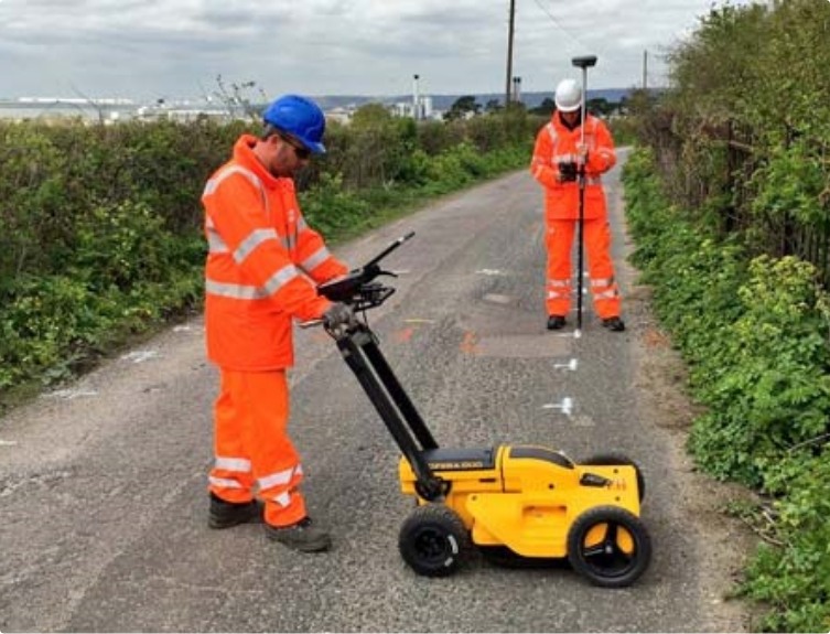
We have knowledge of innovative surveying using Ground Profiling Radar (GPR) for underground asset mapping and also in processing data from Laser Terrain Mapping (ALTM) instruments.
We have knowledge of innovative surveying using Ground Profiling Radar (GPR) for underground asset mapping and also in processing data from Laser Terrain Mapping (ALTM) instruments.

Database Services
The core of any ICT or spatial technology solutions is the database. Generating databases forms the important element of spatial technology services. Whatever the need of projects - scanning paper drawings, maps, aerial photos or satellite images and creation of document archives; vectorizing solutions on the scanned products to organise GIS databases; tabular database creation from text/ tables on various database engines; documentation solutions - Navayuga offers quality and assured services that can need any project requirement. We can even work with users to ingest these database services into “seamless†GIS databases that can form the back-bone of GIS solutions of any organization. In all these activities, We adopt stringent quality checks and standards.
Positioning and Navigation Applications
Conventional ground surveying using Total Station equipment, GPS, electronic surveying equipment and other survey equipment for preparing survey maps is a strength at Navayuga. Integrated with the parent Navayuga Engineering Company (who have more than 20 years of engineering and surveying experience), the Navayuga surveying team has vast experience in surveying and mapping large areas. When integrated with advanced GIS technology, new tools - specifically created for surveyors and engineers, can allow direct ingest of survey data into GIS and developing Survey Information Systems.
We have knowledge of innovative surveying using Ground Profiling Radar (GPR) for underground asset mapping and also in processing data from Laser Terrain Mapping (ALTM) instruments.
We have knowledge of innovative surveying using Ground Profiling Radar (GPR) for underground asset mapping and also in processing data from Laser Terrain Mapping (ALTM) instruments.

Web GIS and Wireless Systems
The core of any ICT or spatial technology solutions is the database. Generating databases forms the important element of spatial technology services. Whatever the need of projects - scanning paper drawings, maps, aerial photos or satellite images and creation of document archives; vectorizing solutions on the scanned products to organise GIS databases; tabular database creation from text/ tables on various database engines; documentation solutions - Navayuga offers quality and assured services that can need any project requirement.
We can even work with users to ingest these database services into “seamless†GIS databases that can form the back-bone of GIS solutions of any organization. In all these activities, We adopt stringent quality checks and standards.
We can even work with users to ingest these database services into “seamless†GIS databases that can form the back-bone of GIS solutions of any organization. In all these activities, We adopt stringent quality checks and standards.

Strategic Consulting
Navayuga can undertake Strategic Consulting services in GIS to organizations that require system-efficiency and cost-effective GIS solutions - especially by understanding the client needs and focusing on how their core business needs to provide customized spatial technology and GIS solutions. Navayuga is well equipped to provide Strategic and Technical Consultancy to various industry verticals - aiming at strategic alignment of spatial technologies into agency objectives and prioritise for providing cutting edge geospatial solutions.
Navayuga can provide unbiased, platform independent and cost effective consulting services in all leading GIS systems, technologies, business domains and handle geospatial data in any format that is customized to specific customer requirements. Our special focus can be on:
Navayuga can provide unbiased, platform independent and cost effective consulting services in all leading GIS systems, technologies, business domains and handle geospatial data in any format that is customized to specific customer requirements. Our special focus can be on:
- Formulating spatial strategies and preparing detailed project reports
- Planning and feasibility studies for GIS
- Customer needs requirement, study and analysis
- GIS cost benefit analysis and Market Research and Analysis
- GIS Database systems and Warehousing
- Spatial Data Infrastructure establishment
- Integrated GIS applications design
- Migration and implementation strategies for GIS

System Integration in GIS
Navayuga can undertake customized or special systems integration and training activities for organizations on the different horizontal and verticals of GIS.
Navayuga’s system integration and software testing processes deal with systems design, systems implementation, integration testing and operationalisation, quality control checking etc. Our systems integration expertise helps you implement and integrate GIS technologies to achieve your specific business objectives. Through a powerful blend of management and technical expertise combined with deep industry knowledge, we collaborate with your business and technology leadership teams to implement the systems and applications that deliver results to your business. With our technology capability, we can help build and establish challenging spatial information systems.
Navayuga’s system integration and software testing processes deal with systems design, systems implementation, integration testing and operationalisation, quality control checking etc. Our systems integration expertise helps you implement and integrate GIS technologies to achieve your specific business objectives. Through a powerful blend of management and technical expertise combined with deep industry knowledge, we collaborate with your business and technology leadership teams to implement the systems and applications that deliver results to your business. With our technology capability, we can help build and establish challenging spatial information systems.